Environment Canada upgrades Toronto storm to Orange, 20–40 cm of snow expected
Environment Canada raised Toronto’s winter warning to Orange, forecasting 20 to 40 centimetres of snow from overnight Saturday into Monday. Expect lake-effect bands, strong winds and travel disruption.
Copy link
By Torontoer Staff
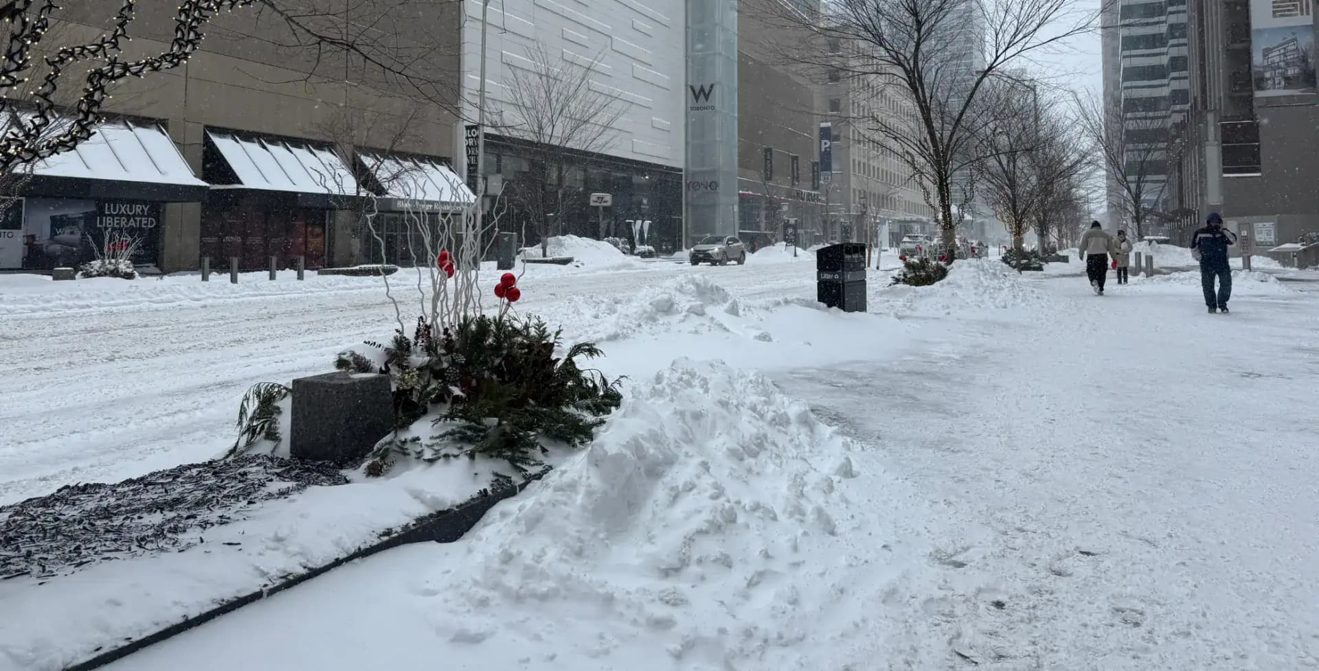
Environment Canada upgraded the winter storm warning for Toronto from Yellow to Orange on Saturday, forecasting 20 to 40 centimetres of snow beginning overnight and continuing into Monday. The upgrade reflects high confidence in both the forecast and the storm’s likely impacts.
Lake-effect snow off Lake Ontario is expected to drive the heaviest bands, so neighbourhoods that often receive intense lake-effect snowfall should prepare for the highest totals. Strong winds and blowing snow may reduce visibility and create hazardous travel conditions.
What to expect over the weekend
Environment Canada is calling for widespread accumulations of 20 to 40 centimetres, with localized amounts above that possible where lake-effect bands set up. The storm system has already produced widespread disruptions in the United States, including tens of thousands without power and thousands of cancelled flights.
A band of lake effect snow off Lake Ontario will impact areas beginning overnight or early Sunday morning.
Environment Canada
Provincial authorities are warning drivers to expect unpredictable conditions. The Ontario Provincial Police posted that heavy snowfall and blowing snow could create hazardous conditions across southern Ontario and advised avoiding non-essential travel.
Practical preparations for your home
- Charge phones and portable batteries, and have flashlights and spare batteries ready.
- Prepare a short-term emergency kit with water, non-perishable food, medications and blankets.
- Keep cabinet doors under sinks open and run a slow drip from taps to reduce risk of frozen pipes.
- If you use a generator, position it outdoors and away from windows to avoid carbon monoxide buildup.
- Clear loose items from balconies and yards that could blow away in strong winds.
If you must travel
Expect delays and cancellations for flights and regional transit. Check with airlines, GO Transit and the TTC before heading to the airport or station. If you drive, reduce speed, allow extra following distance and keep headlights on.
- Use winter tyres and pack an emergency car kit with a shovel, ice scraper, warm clothing and snacks.
- Avoid cruise control on slippery roads and pull over safely if visibility deteriorates.
- Let someone know your route and estimated arrival time, and consider delaying non-essential trips.
Power outages and safety
Power interruptions are possible with heavy, wind-driven snow. Have a battery radio or phone with low-data emergency alerts enabled. If you lose heat, gather in a single warm room and avoid using stoves or barbecues for indoor heating. Check on older neighbours and people with health needs.
Where to get updates
Follow Environment Canada for the latest forecasts and local warnings, and monitor Ontario Provincial Police and municipal social channels for road and service updates. Local utilities will post outage maps and restoration timelines if power is affected.
Heavy snowfall and blowing snow are expected from Saturday overnight through Monday, creating hazardous conditions across Southern Ontario.
Ontario Provincial Police
An Orange Warning signals a high likelihood of significant impacts. Prepare now, check forecasts regularly and adjust plans if travel or outdoor activities are not essential.
Torontoweatherwinter-stormEnvironment Canadasafety