Bitter blast locks in as Toronto faces frigid week and midweek snow
Toronto heads into one of its coldest stretches of the season, with heavy wind chills, gusty winds and potential midweek snowfall affecting the GTA.
Copy link
By Torontoer Staff
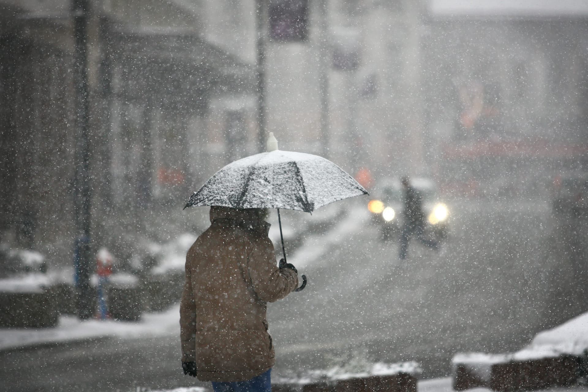
Toronto is entering one of the coldest stretches of the season, with Arctic air keeping temperatures well below normal, gusty winds making conditions feel far colder, and a midweek snow system likely to bring accumulating snowfall across the GTA.
The city’s average high this time of year is around minus 2°C, with an average low near minus 10°C. Forecasts now show daytime temperatures several degrees below that benchmark for the final full week of January.
Forecast overview
Monday will set the tone, with a daytime high near minus 6°C, scattered flurries and westerly winds gusting 30 to 60 km/h. Those gusts will push wind chills into a much colder range despite some afternoon sun. Overnight lows will plunge to about minus 15°C, with wind chill values approaching minus 25.
Tuesday remains very cold. Expect an afternoon high near minus 10°C and wind chill readings near minus 20. A mix of sun and cloud is likely, with a chance of flurries and winds of 20 to 40 km/h. Temperatures will drop to about minus 12°C overnight.
A more organised system arrives Wednesday, bringing periods of snow and the potential for 5 cm or more across parts of the GTA. Winds will be in the 20 to 40 km/h range, and daytime temperatures may briefly moderate to around minus 1°C before falling back to about minus 7°C overnight.
Warnings and areas of greater risk
Toronto is not under warnings at this time, but several southern Ontario communities are. Blizzard and snow squall alerts remain in effect for Barrie, Caledon, Guelph, Kitchener, Newmarket, Orillia and Peterborough. Those areas could experience hazardous whiteout conditions and rapid snow accumulation.
Prolonged extreme cold is likely to dominate the final week of January, with the coldest stretch beginning Thursday, forecasters say.
Environment Canada
Travel and transit impacts
Gusty winds and periods of snow can reduce visibility and create slippery roads. Commuters should expect slower travel times on main routes and local streets. Public transit agencies may implement precautionary measures and delays can affect bus and streetcar services that run on surface roads.
If you need to drive during the snow on Wednesday, allow extra time, check current conditions before you go, and watch for rapid changes in visibility. Pedestrians should plan for icy sidewalks and strong gusts that can make walking more difficult.
Practical preparation
- Layer clothing and include a windproof outer layer, insulated boots and warm accessories such as hats and gloves.
- Keep an emergency kit in vehicles with blankets, water, snacks, a flashlight and a charged phone.
- Check roofs and eaves for ice build-up, and clear vents to prevent blocked airflow in homes.
- Verify heating systems and have alternate heat sources or backup plans if a power outage occurs.
- Allow extra time for commutes and monitor updates from transit agencies and Environment Canada.
What residents should watch for
Key indicators to follow this week are wind gusts, sudden drops in temperature overnight, and the Wednesday snowfall track. Small changes in the track or timing of the system could change snowfall amounts across neighbourhoods within the GTA.
Keep an eye on official forecasts and alerts. Local conditions can change rapidly when Arctic air and a snow system combine, so check forecasts before travel and adjust plans as required.
Sign up for weather alerts from Environment Canada and review your household emergency preparations so you are ready if the cold and snow produce service disruptions.
weathersnowcoldEnvironment CanadaToronto