Hazard warning: Ontario's double-digit temps could be hazardous

By Torontoer Staff
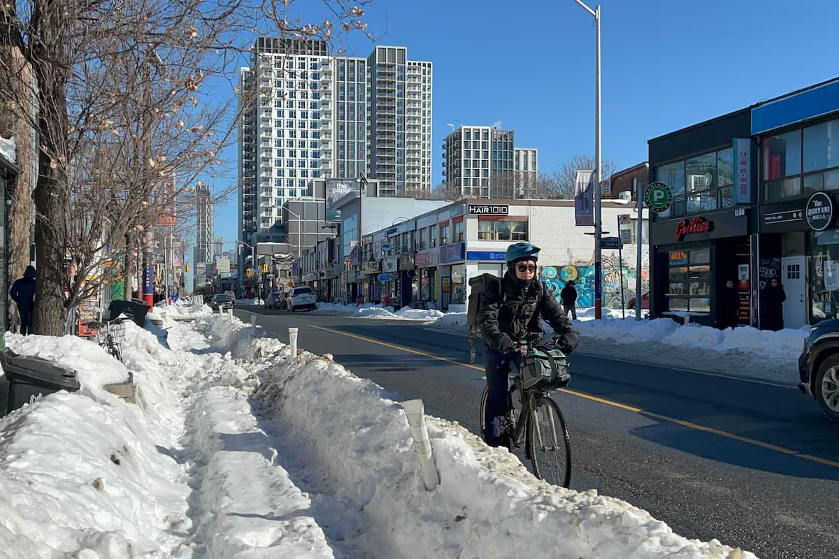
Don’t get too comfortable with mild weather, Torontonians. The Weather Network is calling for a brief January thaw on Friday, Jan. 9, when a storm moving north will usher in “a surge of very mild, southerly air” over southern Ontario.
That means downtown and waterfront areas could climb to about 10 C or warmer, roughly a 12 degree jump from the minus two typical for this time of year. Surrounding communities are expected to see unusually high readings as well, with forecasts around 13 C in Brampton and Brantford, 12 C in Burlington and Windsor, and 10 to 11 C in Markham, Pickering, London and Niagara Falls. The warmth will come with rain, and many parts of southern Ontario could pick up 10 to 20 millimetres.
When falling on a landscape still holding snow, that rain can quickly raise the chance of localized flooding, especially in low lying streets, river valleys and neighbourhoods where storm drains are still blocked by snowbanks. The rapid melt also increases the risk of ice jams on rivers and can make ponds and small lakes dangerously unsafe for skating or walking. City crews will be watching catchbasins and low-lying routes, but residents should clear drains near their homes where possible and avoid venturing onto thawing ice.
Enjoy the milder day if you can, but do not mistake it for spring. The Weather Network cautions the warm spell is short lived, with colder and snowier conditions expected to return after the weekend.