Polar vortex brings deep freeze to Toronto, frostbite risk as wind chill nears -30 C
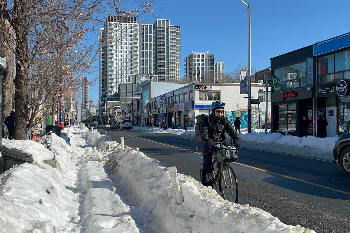
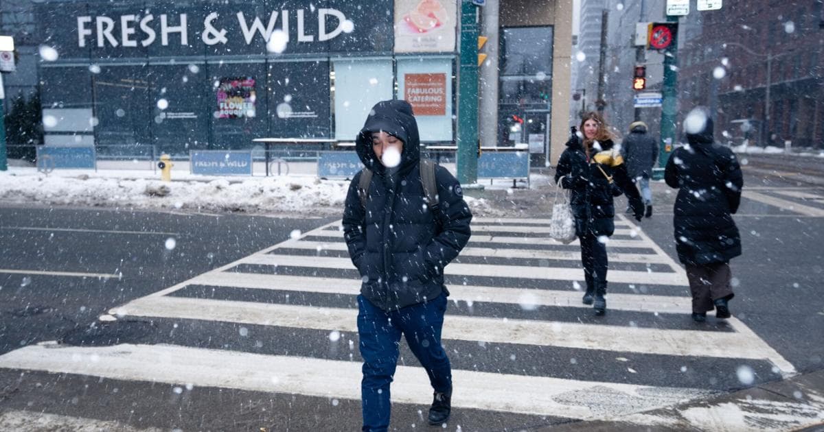
A polar vortex has dropped Arctic air over Toronto, producing wind chills near -30 C and a risk of frostbite. Heavy snow Sunday could push January totals toward the top 10 on record.
Copy link
By Torontoer Staff
A polar vortex is dropping Arctic air into Toronto and southern Ontario, producing dangerously low wind chills and a heightened frostbite risk. Environment Canada warns wind chill values could reach around -30 C, and a snow system on Sunday may add significant accumulation.
Friday night could bring some of the coldest temperatures the city has seen since February 2023. With more snow on the way, Toronto could move into the top 10 snowiest Januaries on record.
What to expect this weekend
Environment Canada forecasts a daytime high near -15 C on Friday with gusts up to 50 km/h, producing afternoon wind chills near -24 C. Overnight lows will fall near -22 C and feel close to -31 C late into the night, increasing frostbite risk for exposed skin.
Saturday will bring some sun and a high around -12 C, but mornings are expected to feel closer to -30 C. Saturday evening will cloud over with a low near -18 C. On Sunday, blizzardlike conditions are possible, with periods of heavy snowfall and snow squalls likely to make travel difficult.
We might be on pace to get there.
Environment Canada meteorologist Eric Tomlinson
Snow totals and how January is shaping up
Toronto Pearson Airport has recorded 41.2 centimetres of snow so far this month, compared with a January average of 31.5 centimetres. Up to five centimetres fell overnight into Friday, and Sunday’s system could add around 15 centimetres in places, moving the city closer to the top 10 snowiest Januaries.
Officials note November and December were also snowier than recent years, contributing to an overall snowy winter.
Why the air is so cold
The polar vortex is an area of cold air centred over the Arctic. When that circulation weakens, cold air spills south across North America. Environment Canada meteorologist Trudy Kidd described the process as being like air leaking from a balloon.
This is one of the coldest air masses on Earth.
Environment Canada meteorologist Eric Tomlinson
Health and safety: frostbite, hypothermia and precautions
When wind chill values are between -28 C and -39 C, the risk of frostnip and frostbite is high. The city notes exposed skin can freeze in about 10 to 30 minutes under those conditions. Prolonged exposure without adequate shelter or clothing also raises the risk of hypothermia.
Residents should limit time outdoors. If travel or outdoor work is necessary, stay active to generate body heat, watch for numbness or discoloured skin, and seek warmth immediately if symptoms appear.
- Dress in layers: inner layers of wool, silk or polypropylene trap heat
- Wear a wind-resistant outer layer
- Cover exposed skin with hats, scarves, neck warmers, mittens or gloves
- Use insulated, waterproof footwear
- Stay dry, moisture on skin speeds heat loss
Any moisture on the skin will cool the body faster.
Environment Canada meteorologist Eric Tomlinson
Check in with seniors, neighbours and others at higher risk. The city and outreach teams are increasing efforts to bring people indoors during the cold snap.
Warming centres and city response
The city has opened five warming centres and two surge sites. Warming centres open when temperatures reach -5 C, and surge sites open at -15 C. Outreach teams are working to encourage people outdoors to come inside.
- 81 Elizabeth St.
- 885 Scarborough Golf Club Rd.
- 136 Spadina Rd.
- 349 George St.
- 12 Holmes Ave.
- Surge site: 870 Queen St. E.
- Surge site: 58 Cecil St.
The warming centres and surge sites are intended to provide immediate shelter during the coldest hours. Residents needing assistance should look to city updates on social media for the latest information.
Expect travel disruptions on Sunday as wind and heavy snowfall create low visibility and difficult road conditions. Plan for extra time, consider postponing non-essential trips, and follow updates from local transit and Environment Canada.
Limit time outdoors, dress for the cold, and check on vulnerable neighbours. The polar vortex will make this a weekend of extreme cold and potentially significant snow across Toronto and southern Ontario.
weatherTorontopolar vortexfrostbitesnow